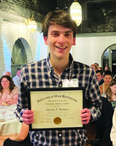
UMW senior Charlie Barbaro (Geospatial Analysis 2027) is a research pro. His first research experience was as a participant in the 2025 Irene Piscopo Rodgers ’59 Summer Science Institute. Under the mentorship of Dr. Ping Yin, he conducted a spatial and temporal analysis on multi-vehicle car crashes in Fairfax County, Virginia. This opportunity provided him with experience to work with large datasets, creatively solve problems, and critically read scholarly literature. These skills proved to be indispensable to help him land a position with the U.S. Geological Survey (USGS) and funded by Oak Ridge Institute for Science and Education (ORISE) the following summer 2026. ORISE administers competitive research appointments that provide selected students and recent graduates the opportunity to work directly with scientists at federal research agencies. These mentored research experiences are intended to develop the next generation of scientists and provide participants with substantive experience contributing to active federal research programs.
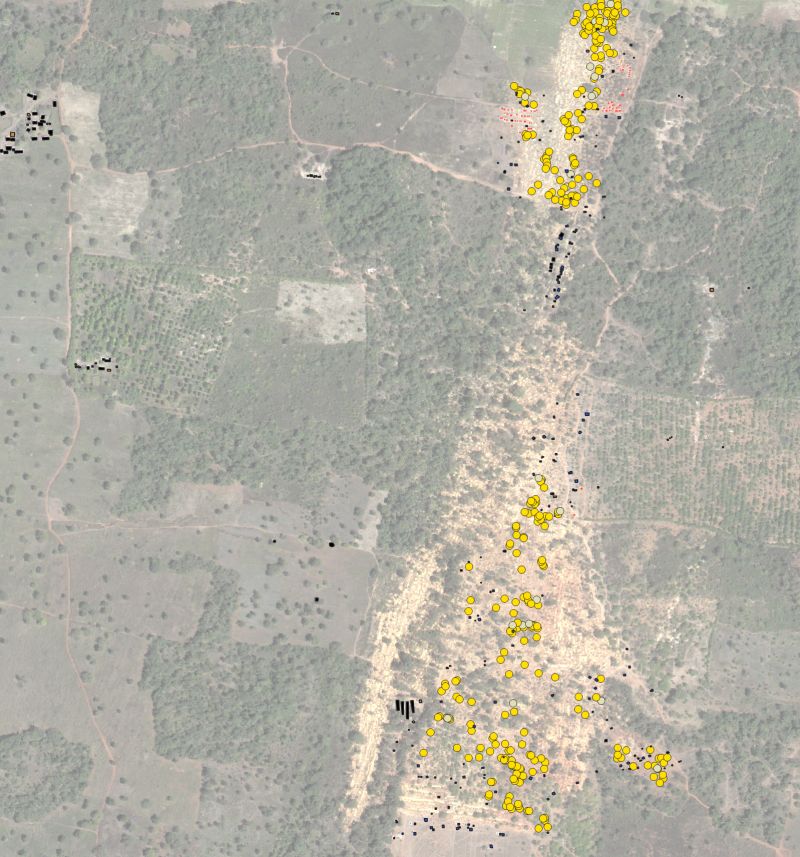
Under the guidance of Mary Washington alumnus Dr. Pete Chirico of the USGS, Charlie created an original, multitemporal dataset of gold mining-related features on the landscape of Nafoun, Cote D’Ivoire. This process involved the interpretation of several years of high-resolution satellite imagery and manually digitizing thousands of mining shafts, pits, ponds, and structures. This dataset will contribute to USGS monitoring of Artisanal and Small-Scale Mining (ASM) around the world, and is expected to be featured in a publication on these efforts. Because of the unregulated nature of this kind of mining, it can trigger a multitude of economic, political and environmental challenges that effect the surrounding landscape and communities that live there. At the same time, there is no governing body collecting records on ASM activity. Therefore, projects like these are essential to ensuring there is reliable data on where and when ASM activities are occurring, so stakeholders can take appropriate actions toward resolving mining-related challenges.
On his experience with USGS, Charlie remarked:
“In my classes, I have usually used pre-existing datasets made by somebody else. Creating a dataset entirely from scratch taught me a lot about what goes into that type of process, and what aspects are the most important to pay attention to, both as a data collector and a data user.”
Leave a Reply