The Certificate in Geographic Information Science: (19 credits)
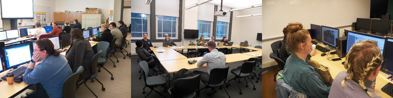
The Geography Department hosts an interdisciplinary certificate program in Geographic Information Science. Open to students in all majors and to non-degree seeking students, the program is designed to address the growing demand for GIS-trained personnel in business, government, education, health care, natural resource management, and numerous other settings. The field encompasses integrated hardware, software, and database systems that are capable of capturing, storing, analyzing, and displaying geographical information. Upon completion of the certificate, students may be eligible to apply for an additional professional certification in GIS administered by the GIS Certification Institute (GISCI).
Please see the Academic Catalog for full details and course descriptions.
Introduction to GIS
Students focus on the theory and application of GIS technology by combining classroom lessons with laboratory assignments. Requirement may be fulfilled by completing one of the following courses:
- GISC 200 Introduction to GIS
- GEOG 250 Introduction to GIS and Cartography
- EESC 205 Computer Applications in Environmental Science and Geology
Intermediate GIS
Students develop hands-on skills using industry-standard GIS software to complete assignments in urban infrastructure management, environmental modeling, and many other areas, while also learning about GIS as an analytical research tool. Take this required course:
- GISC 351 Spatial Analysis
Programming or Web-GIS course
Take one of the following:
- GISC 450 – GIS Programming (Python)
- GISC 482 – Web GIS Concepts and Applications
GISC 450 Introduction to fundamental concepts of computer programming, OOP concepts, and ESRI’s Python Applications Programming Interface (API) ArcPy. Students develop custom tools and solutions that extend core ArcGIS functionality; apply object-oriented programming concepts; and develop Python resources to create applications and tools that perform specific GIS tasks. Includes hands-on programming exercises, where students write scripts and develop custom tools that automate tasks.
GISC 482 Concepts and basic practical applications of Web GIS. Students will learn how to use the state-of-art technical skills and knowledge to quickly develop Web GIS applications to publish, share, and combine various geospatial resources through the Internet.
GIS Electives
Choice of (when offered):
- GISC 340 Remote Sensing and Air Photo Interpretation
- GISC 355 Mobile Geographic Information Systems and Global Positioning Systems
- GISC 440 Application of Spatial Statistics and Models in GIS
- GISC 471 Special Topics
Capstone Experience
Students complete the program by completing a faculty supervised internship or independent study. To fulfill this requirement, students must register for one of the following courses:
- GISC 491 Directed Study in GIS
- GISC 499 Internship in GIS