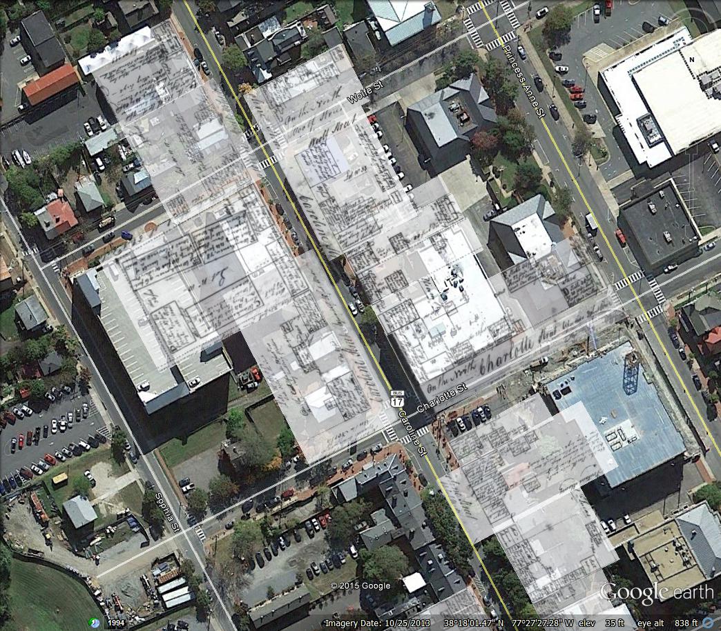
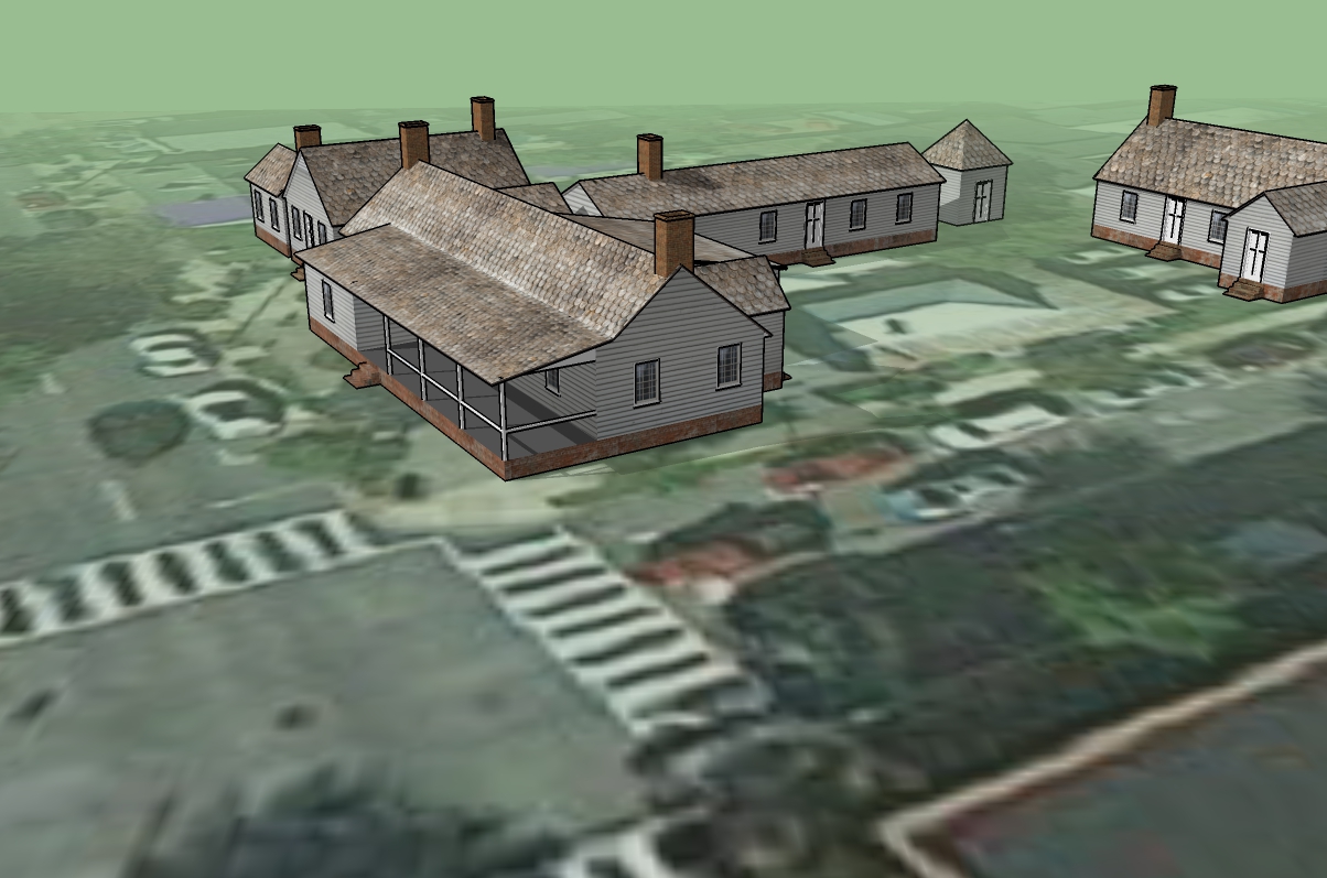
HISP 345 students have been hard at work modeling Caroline Street pre-1807 fire. The first step was collecting Mutual Assurance Policies from 1796 and overlaying them in Google Earth to get a reasonable idea of where the buildings were located (below image). Subsequent years, until 1807, will also be modeled with the objective of conveying the dramatic difference in the visual appearance of Fredericksburg during the late 18th and early 19th centuries compared to today. Google Earth was chosen in large part because it is free and provides adequate accuracy tolerances to reach the objective of the exercise. The brief video showing some of the building massings, created in SketchUP, on the Caroline Street topography check out the Department for Historic Preservation’s Facebook page. The video moves from the southern end of Caroline Street to the northern end. At present “photoreal” renderings are being applied to student models like Heather Kennedy’s model of the building at the northeast corner of Caroline Street and Amelia Street.
Speak Your Mind